Google Earth shows Milestone I of the Minuteman Bikeway about 8 feet above sea level and the Bedford end of trail around 116 feet. In between, it peaks at 225 feet near Hancock Street in Lexington. When it's downhill both ways from Lexington Center, which way should you go? If you don't want one leg of the trip too much harder than the other, check the wind.
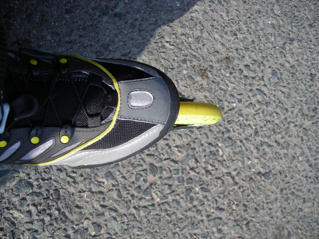
I skated east from Lexington to Frazer Road (elevation 127 feet) today. Downhill with the west wind at my back was easy. The return trip, much harder.
For the first time this year, the trail is both clear and dry. Snowbanks are gone, with only small and scattered patches of snow off the trail.
Today: 6.6 miles. This year: 15.9 miles.


No comments:
Post a Comment